Khumbu, Solukhumbu, Nepal · 12 days

Everest Base Camp

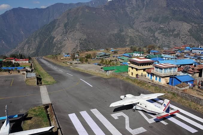
Twelve days up the Dudh Koshi, from Lukla's sloping runway to the foot of the Khumbu Icefall.

12
Days
130 km
Distance
5,545 m
High point
Mar – May · Oct – Nov
Season
2
Rest days
Day 8
Hardest day

Best window · March – May · late September – November

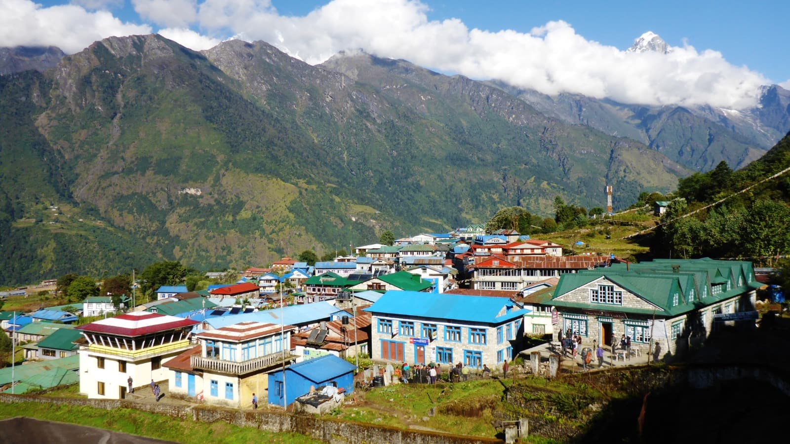
The sloping Lukla airstrip above the Dudh Koshi valley01 / 12
Phakding2,610 m
The sloping Lukla airstrip above the Dudh Koshi valley
Day 01Fly in

Lukla runway to Phakding

Thirty-five minutes onto a 527 m runway cut into the hillside, then an easy walk downriver. The first night is deliberately lower than the airstrip.

1,4005,164 m
  1. 06:20Kathmandu departureTwin Otter to Tenzing-Hillary Airport, weather permitting.
  2. 08:00Permits stamped, LuklaKhumbu Pasang Lhamu municipality fee, then the first mani wall.
  3. 11:00GhatPrayer wheels turned by river water; pass chortens on the left.
  4. 13:30PhakdingLodge above the Dudh Koshi. Afternoon free to let the altitude settle.
Phakding
Sleep
2,610 m
Altitude
8 km
Distance
3 h
Walking
  • Flight day
  • Easy
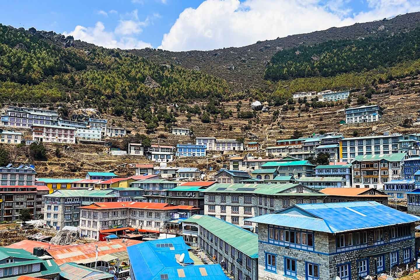
Namche Bazaar terraced into its horseshoe hillside02 / 12
Namche Bazaar3,440 m
Namche Bazaar terraced into its horseshoe hillside
Day 02Namche

The climb to Namche Bazaar

Five suspension bridges, the national park gate, then 600 m of switchbacks through pine. Everest shows itself for the first time near the top.

1,4005,164 m
  1. 07:30Bengkar bridgesThe valley narrows; the river runs grey with glacial silt.
  2. 09:15Monjo checkpostSagarmatha National Park permit — a UNESCO site since 1979.
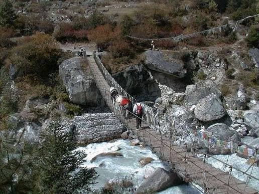
  3. 11:00Hillary Suspension Bridge125 m of prayer flags above the Dudh Koshi confluence, then the climb starts.
  4. 14:30Namche BazaarA horseshoe of lodges terraced into the hillside at 3,440 m.
Namche Bazaar
Sleep
3,440 m
Altitude
11 km
Distance
6 h
Walking
  • Big climb
  • Park entry
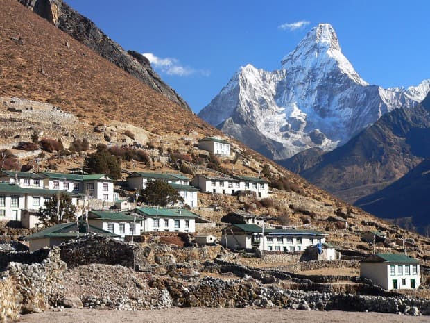
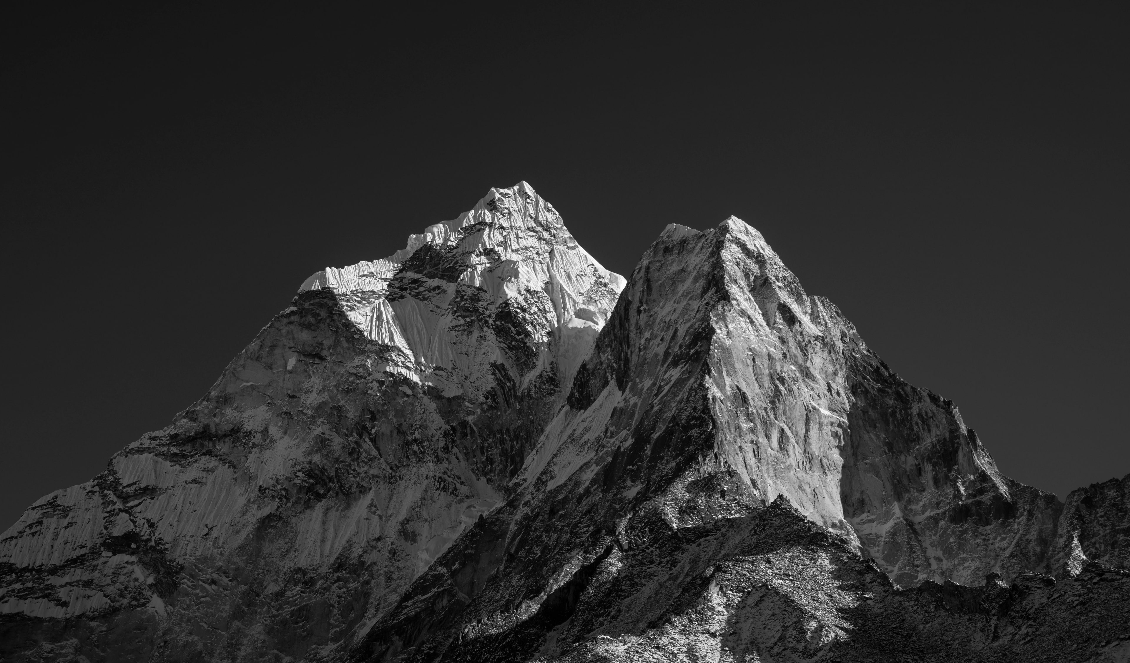
Ama Dablam from the Syangboche ridge above Namche03 / 12
Namche Bazaar3,440 m
Ama Dablam from the Syangboche ridge above Namche
Day 03Acclimatise

Walk high, sleep low

The first rest day is not a day off. Climb 440 m to the viewpoint, spend the afternoon back down in the bazaar.

1,4005,164 m
  1. 07:00Syangboche ridgeSteep 45 minutes to the old airstrip at 3,780 m.
  2. 08:30Everest View HotelTea on the terrace facing Everest, Lhotse and Ama Dablam.
  3. 11:00KhumjungHillary's school of 1961, and the monastery's much-argued yeti scalp.
  4. 15:00Sherpa Culture MuseumBack in Namche. Bakery, hot shower, last reliable wifi.
Namche Bazaar
Sleep
3,440 m
Altitude
6 km
Distance
4 h
Walking
  • Acclimatisation
  • Short day
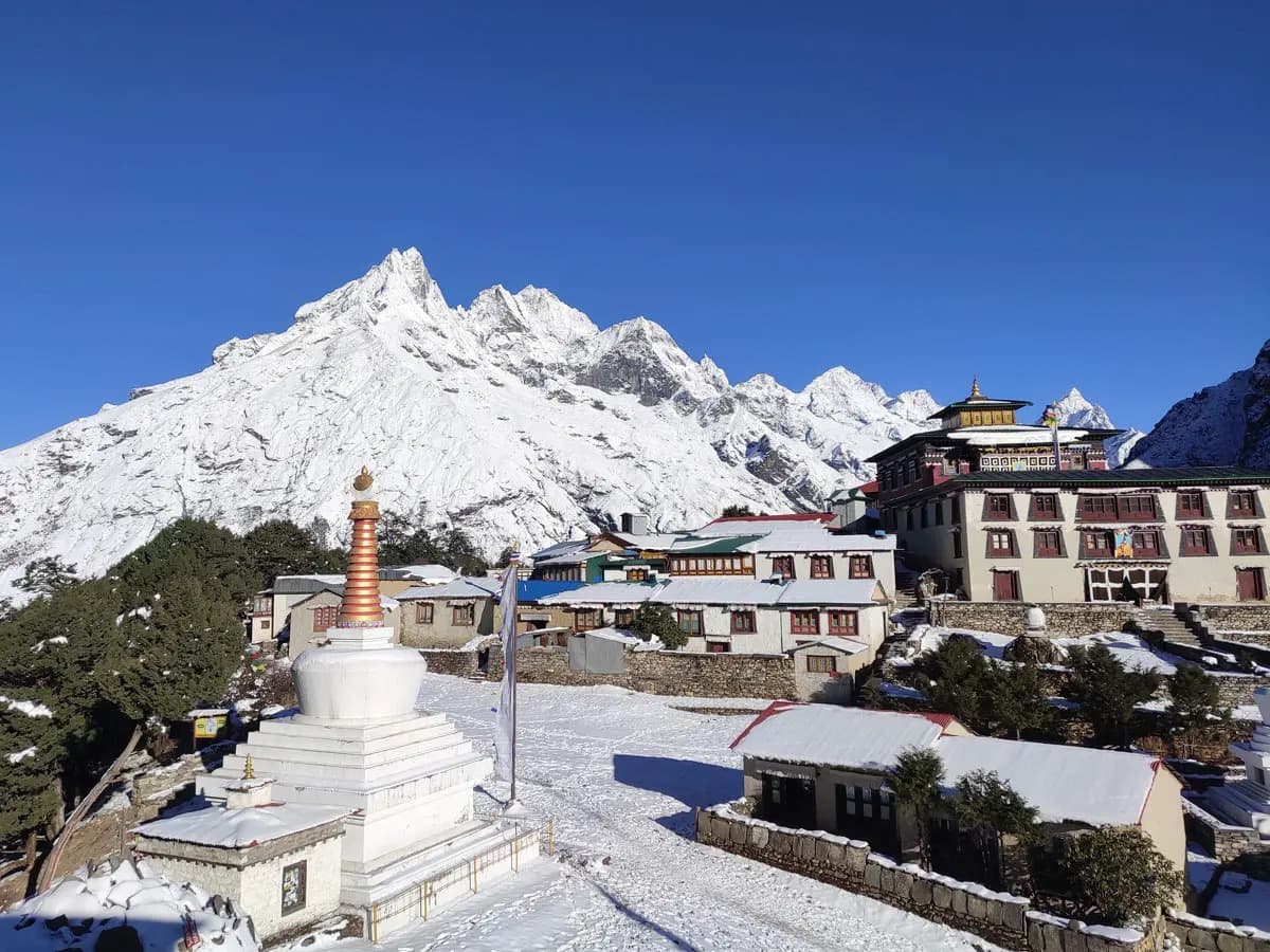
Tengboche gompa on its ridge below Ama Dablam04 / 12
Tengboche3,867 m
Tengboche gompa on its ridge below Ama Dablam
Day 04Monastery

Contour to Tengboche

A level traverse with Ama Dablam straight ahead, a drop to the river, then 600 m of rhododendron switchbacks to the ridge.

1,4005,164 m
  1. 08:00Kyangjuma traverseFlat path cut into the hillside; danphe pheasants in the scrub.
  2. 10:30Phunki TengaDown to 3,250 m for lunch beside water-driven prayer wheels.
  3. 13:30The forest climbTwo hours up. Step off the trail on the uphill side for yak trains.
  4. 16:00Tengboche MonasteryEvening puja at the largest gompa in Khumbu, 3,867 m.
Tengboche
Sleep
3,867 m
Altitude
10 km
Distance
5 h
Walking
  • Culture
  • Long climb
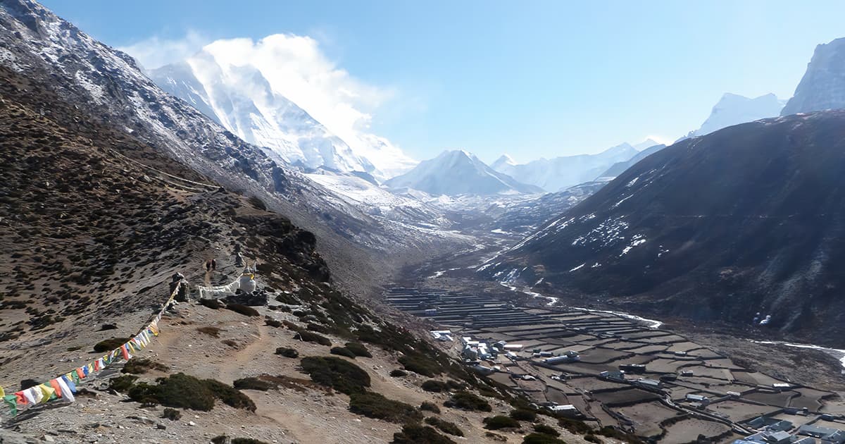
Stone-walled potato fields at Dingboche, no trees in sight05 / 12
Dingboche4,410 m
Stone-walled potato fields at Dingboche, no trees in sight
Day 05Treeline

Above the last trees

Birch and juniper thin out past Pangboche. From here on the valley is rock, wind and walled potato fields.

1,4005,164 m
  1. 07:30DebocheA nunnery in the last of the forest, quieter than the monastery above.
  2. 09:00PangbocheThe oldest monastery in Khumbu, with Ama Dablam filling the window.
  3. 11:30Imja Khola crossingTurn east into the Imja valley at Shomare; the treeline ends here.
  4. 14:30DingbocheStone-walled fields at 4,410 m, no trees anywhere in sight.
Dingboche
Sleep
4,410 m
Altitude
12 km
Distance
5 h
Walking
  • Treeline
  • Steady
Prayer flags on the Nangkartshang ridge with Makalu beyond06 / 12
Dingboche4,410 m
Prayer flags on the Nangkartshang ridge with Makalu beyond
Day 06Acclimatise

Nangkartshang ridge

The second rest day earns its name by climbing 670 m and giving it all back. Makalu appears from the top.

1,4005,164 m
  1. 08:00Ridge above the villageSteep and exposed with no water on it — carry a litre.
  2. 10:30Nangkartshang, 5,083 mMakalu, Lhotse and Island Peak in a single turn.
  3. 13:00Down for lunchBack to 4,410 m. Drink, eat, rest, sleep low.
Dingboche
Sleep
4,410 m
Altitude
5 km
Distance
4 h
Walking
  • Acclimatisation
  • 5,083 m
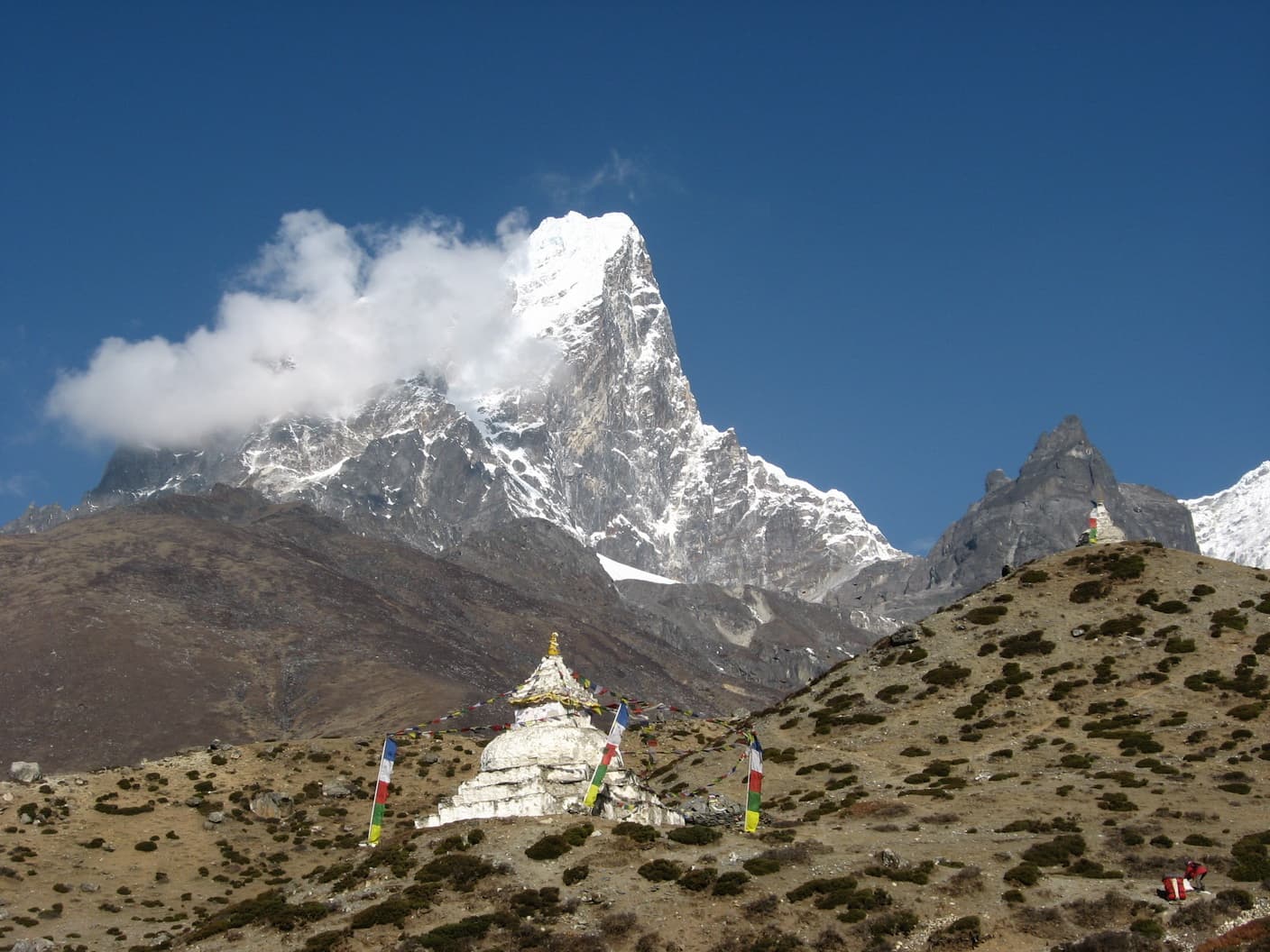
Memorial cairns on the Chukpi Lhara ridge above Thukla07 / 12
Lobuche4,940 m
Memorial cairns on the Chukpi Lhara ridge above Thukla
Day 07Moraine

Thukla Pass and the memorials

An easy morning across yak pasture, then one hard hour of loose moraine to a ridge of stone cairns for climbers who did not come back.

1,4005,164 m
  1. 08:00Pasture to ThuklaWide and gentle to the bridge at 4,620 m.
  2. 11:00The Thukla climb200 m of scree. Short steps, slow breathing, no hurry.
  3. 12:00Chukpi LharaMemorial cairns at 4,830 m — Scott Fischer, Babu Chiri Sherpa, and many unnamed.
  4. 14:30LobucheCold lodges along the lateral moraine of the Khumbu Glacier, 4,940 m.
Lobuche
Sleep
4,940 m
Altitude
8 km
Distance
5 h
Walking
  • Moraine
  • Hard hour
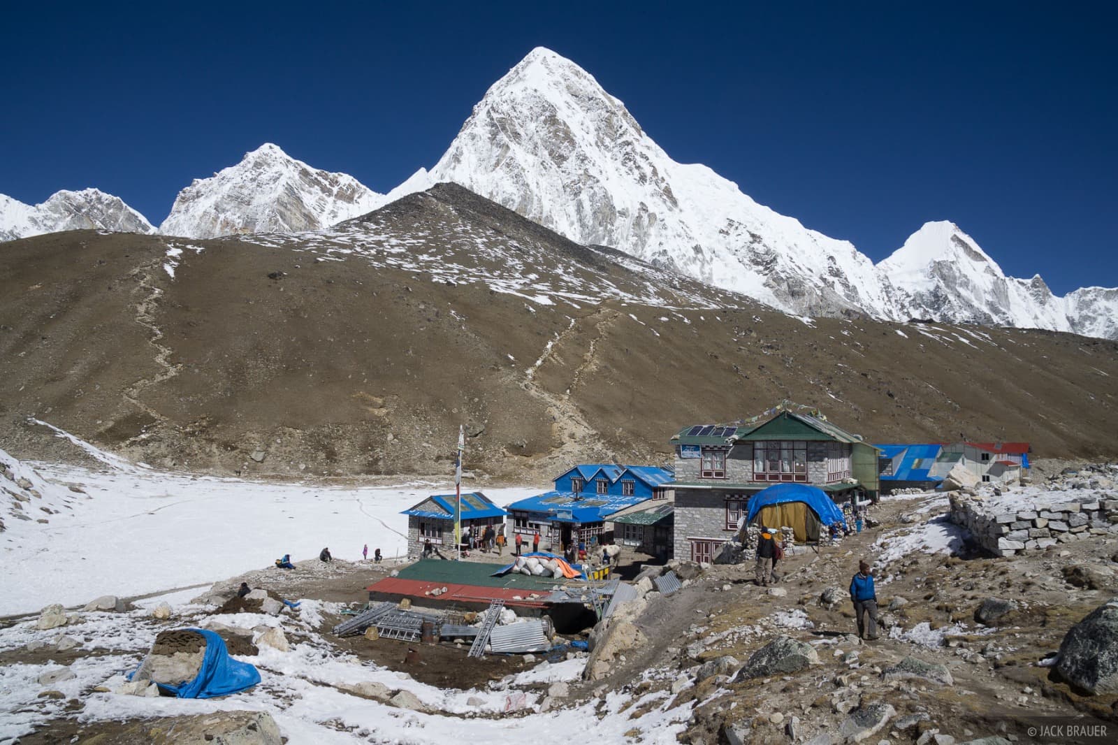
The Khumbu Icefall above the Base Camp moraine08 / 12
Gorak Shep5,164 m
The Khumbu Icefall above the Base Camp moraine
Day 08Base Camp

Everest Base Camp

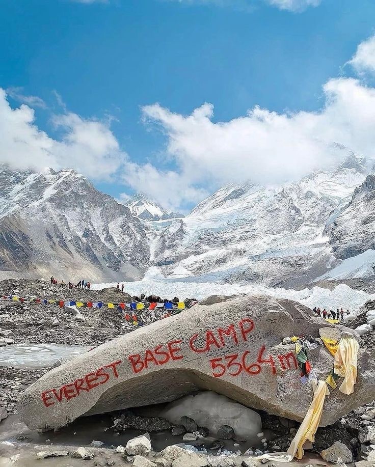
The longest day at the highest altitude. Glacier rubble out and back, and a boulder painted with the year at the end of it.

1,4005,164 m
  1. 06:30Changri moraineRolling, rocky, slower than the map suggests.
  2. 09:30Gorak ShepDrop packs at 5,164 m, eat something, keep drinking.
  3. 13:00Everest Base Camp5,364 m at the foot of the Khumbu Icefall. Tents only in spring.
  4. 17:00Back to Gorak ShepSame rubble, tired legs, an early night.
Gorak Shep
Sleep
5,164 m
Altitude
13 km
Distance
9 h
Walking
  • The objective
  • Long day
Everest and Nuptse at first light from Kala Patthar09 / 12
Pheriche4,371 m
Everest and Nuptse at first light from Kala Patthar
Day 09Kala Patthar

Sunrise at 5,545 m, then down

Everest is hidden from Base Camp. This is the one place on the trek where the whole south face stands up in front of you.

1,4005,164 m
  1. 04:30Head-torch startTwo hours up frozen scree in the dark and the cold.
  2. 06:15Kala Patthar summitEverest, Nuptse and Pumori at first light. The high point of the trek.
  3. 09:00Descend past LobucheRetrace the moraine, then down the Thukla pass.
  4. 15:30Pheriche4,371 m and the HRA aid post. The air is noticeably thicker.
Pheriche
Sleep
4,371 m
Altitude
16 km
Distance
8 h
Walking
  • Sunrise
  • Big descent
Rhododendron forest returning on the descent to Deboche10 / 12
Namche Bazaar3,440 m
Rhododendron forest returning on the descent to Deboche
Day 10Descent

Back below the treeline

A long day down the Imja valley. Every hour buys back oxygen, and somewhere near Deboche the forest starts to smell like something again.

1,4005,164 m
  1. 07:00Pangboche and DebocheThe same monasteries, seen from the other direction.
  2. 10:30Phunki Tenga climbThe sting in the tail: 250 m back up to Sanasa.
  3. 16:00Namche BazaarHot shower, bakery, and the first beer that is safe to drink.
Namche Bazaar
Sleep
3,440 m
Altitude
20 km
Distance
8 h
Walking
  • Long day
  • Downhill
Prayer flags on the Hillary suspension bridge at Larja Dobhan11 / 12
Lukla2,860 m
Prayer flags on the Hillary suspension bridge at Larja Dobhan
Day 11Lukla

The last long descent

Nineteen kilometres back through the bridges and out of the park. Downhill, but harder on the knees than anything above.

1,4005,164 m
  1. 07:00Down to Larja Dobhan600 m of switchbacks to the Hillary bridge.
  2. 09:30Monjo park exitPermits checked out at the boundary.
  3. 13:00PhakdingFamiliar tables, half the altitude of two days ago.
  4. 16:30LuklaCrew dinner at 2,860 m. Tips, chang and dancing, by tradition.
Lukla
Sleep
2,860 m
Altitude
19 km
Distance
7 h
Walking
  • Longest day
  • Downhill
Terraced ridges of Solu from the air on the flight out12 / 12
Kathmandu1,400 m
Terraced ridges of Solu from the air on the flight out
Day 12Fly out

Lukla to Kathmandu

Flights leave early or not at all. Keep a spare day at the end of the trip — weather closes the strip several times a season.

1,4005,164 m
  1. 06:00First slotMorning wind window. Delays are normal, not a failure of planning.
  2. 06:35Wheels upDownhill runway, then the terraced ridges of Solu below the wing.
  3. 07:15Land KathmanduOr Manthali in peak season, plus a four-hour drive to the city.
Kathmandu
Sleep
1,400 m
Altitude
Distance
Walking
  • Flight day
  • Buffer advised

Walk it in march – may · late september – november

Dates are flexible and every stop above can be swapped. Send your window and we will hold the rooms along the coast.

Request these dates